


Grammar
Tenses
Present

Present Simple
Present Continuous
Present Perfect
Present Perfect Continuous
Past
Past Simple
Past Continuous
Past Perfect
Past Perfect Continuous
Future
Future Simple
Future Continuous
Future Perfect
Future Perfect Continuous
Parts Of Speech
Nouns
Countable and uncountable nouns
Verbal nouns
Singular and Plural nouns
Proper nouns
Nouns gender
Nouns definition
Concrete nouns
Abstract nouns
Common nouns
Collective nouns
Definition Of Nouns
Animate and Inanimate nouns
Nouns
Verbs
Stative and dynamic verbs
Finite and nonfinite verbs
To be verbs
Transitive and intransitive verbs
Auxiliary verbs
Modal verbs
Regular and irregular verbs
Action verbs
Verbs
Adverbs
Relative adverbs
Interrogative adverbs
Adverbs of time
Adverbs of place
Adverbs of reason
Adverbs of quantity
Adverbs of manner
Adverbs of frequency
Adverbs of affirmation
Adverbs
Adjectives
Quantitative adjective
Proper adjective
Possessive adjective
Numeral adjective
Interrogative adjective
Distributive adjective
Descriptive adjective
Demonstrative adjective
Pronouns
Subject pronoun
Relative pronoun
Reflexive pronoun
Reciprocal pronoun
Possessive pronoun
Personal pronoun
Interrogative pronoun
Indefinite pronoun
Emphatic pronoun
Distributive pronoun
Demonstrative pronoun
Pronouns
Pre Position
Preposition by function
Time preposition
Reason preposition
Possession preposition
Place preposition
Phrases preposition
Origin preposition
Measure preposition
Direction preposition
Contrast preposition
Agent preposition
Preposition by construction
Simple preposition
Phrase preposition
Double preposition
Compound preposition
prepositions
Conjunctions
Subordinating conjunction
Correlative conjunction
Coordinating conjunction
Conjunctive adverbs
conjunctions
Interjections
Express calling interjection
Phrases
Sentences
Clauses
Part of Speech
Grammar Rules
Passive and Active
Preference
Requests and offers
wishes
Be used to
Some and any
Could have done
Describing people
Giving advices
Possession
Comparative and superlative
Giving Reason
Making Suggestions
Apologizing
Forming questions
Since and for
Directions
Obligation
Adverbials
invitation
Articles
Imaginary condition
Zero conditional
First conditional
Second conditional
Third conditional
Reported speech
Demonstratives
Determiners
Direct and Indirect speech
Linguistics
Phonetics
Phonology
Linguistics fields
Syntax
Morphology
Semantics
pragmatics
History
Writing
Grammar
Phonetics and Phonology
Semiotics
Reading Comprehension
Elementary
Intermediate
Advanced
Teaching Methods
Teaching Strategies
Assessment

Map of provinces and counties in Ireland
 المؤلف:
Raymond Hickey
المؤلف:
Raymond Hickey
 المصدر:
A Handbook Of Varieties Of English Phonology
المصدر:
A Handbook Of Varieties Of English Phonology
 الجزء والصفحة:
97-4
الجزء والصفحة:
97-4
 2024-02-21
 1942
1942


+
-
20
Map of provinces and counties in Ireland
There are thirty two counties in present-day Ireland distributed in somewhat uneven fashion across four provinces. The counties vary in size, Cork and Galway being the largest, Louth and Carlow the smallest. The population of counties depends on whether they contain large towns or cities. Some counties, like Leitrim and Clare do not, while other have an associated town or city, e.g. Limerick, Cork, Wexford, etc.
The province of Ulster contains nine counties, six of which are within the borders of Northern Ireland, formed on the partition of Ireland in 1921. There is a limited presence of Ulster Scots speech outside of Northern Ireland, in the Lagan district of north-west Donegal. Features of northern speech spread much further southwards than previously thought as attested by A Sound Atlas of Irish English.
 الاكثر قراءة في Phonology
 اخر الاخبار
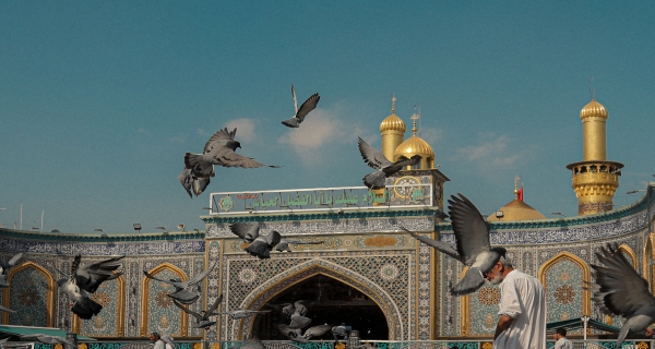
اخبار العتبة العباسية المقدسة
الآخبار الصحية


مواضيع ذات صلة
 قسم الشؤون الفكرية يصدر كتاباً يوثق تاريخ السدانة في العتبة العباسية المقدسة
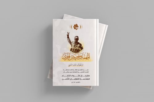 "المهمة".. إصدار قصصي يوثّق القصص الفائزة في مسابقة فتوى الدفاع المقدسة للقصة القصيرة
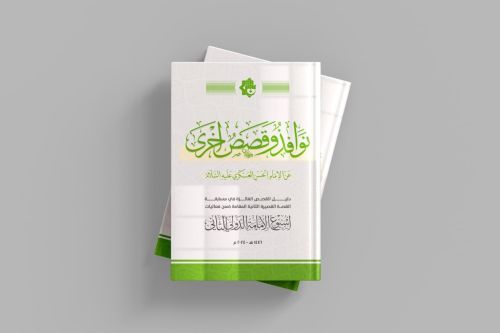 (نوافذ).. إصدار أدبي يوثق القصص الفائزة في مسابقة الإمام العسكري (عليه السلام)